What is your [x]?
From waste to resource. Circular and regenerative transitions for industries, cities, and territories.
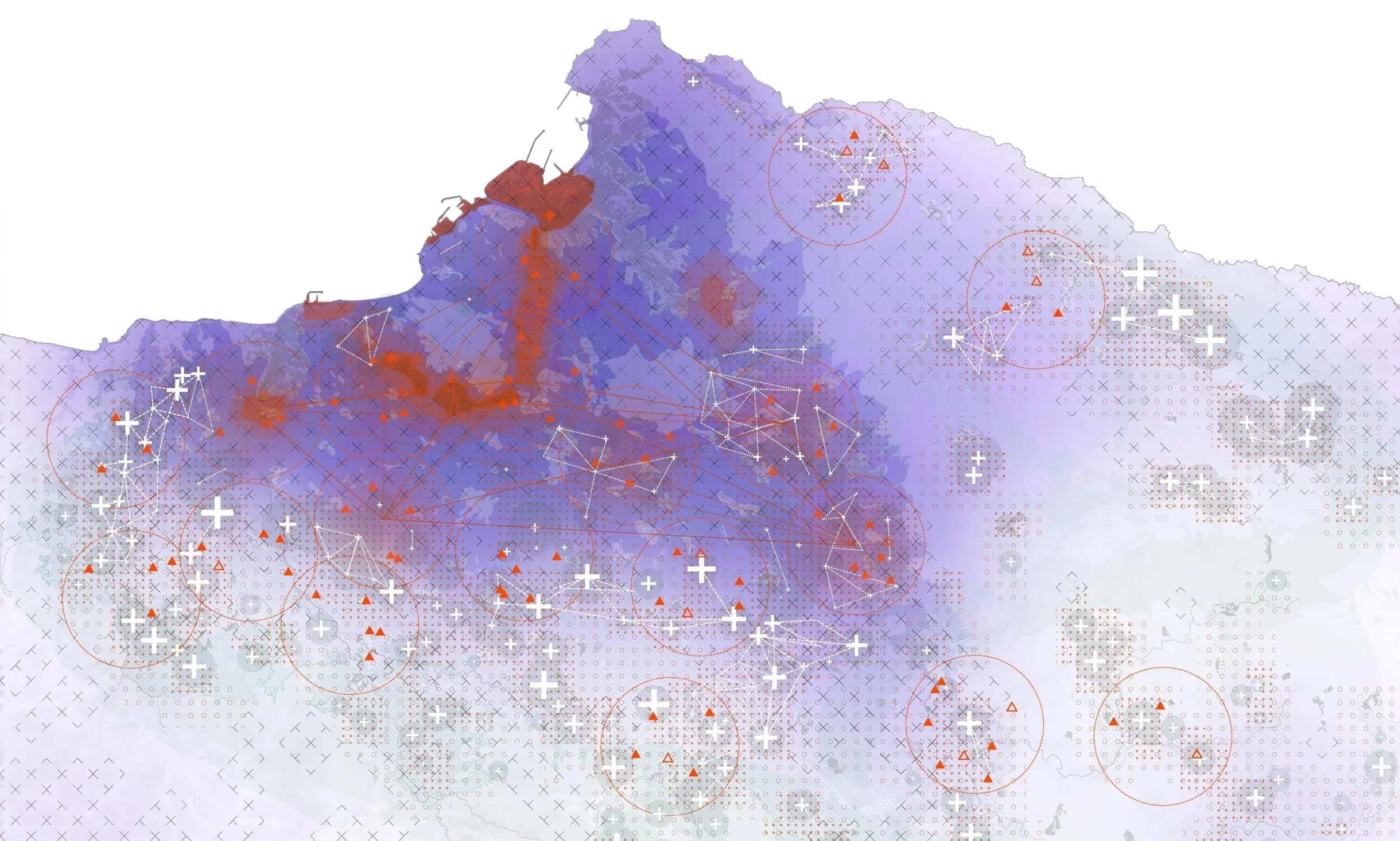
Every place carries something: waste, pollution, degradation, burdened communities. That something is the [x]. Once named, it becomes visible, mappable, and actionable. Through systemic research and design, we transform what has been left behind into resources for regeneration, giving landscapes a new story.
[x]scaping is the methodology that turns that potential into action.
From understanding systems to designing transitions, we work across scales to make regeneration possible, specific, and lasting.
4 Verticals
Heavy industry
There’s more to do with your waste than you think.

Cities and regions
Your city carries more than it built.
Agriculture
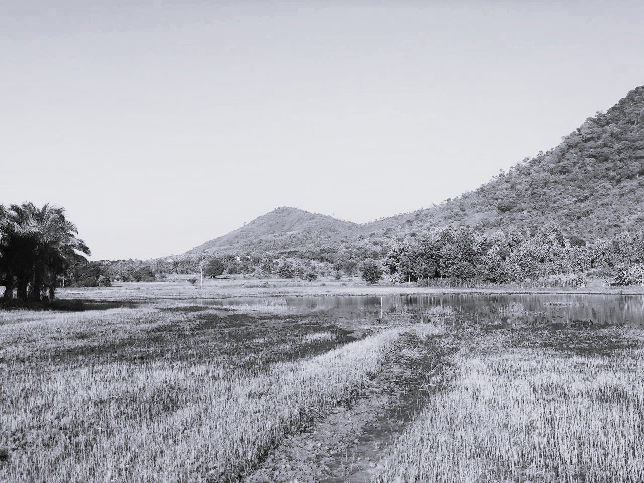
Something is happening under your fields.
Find your territory
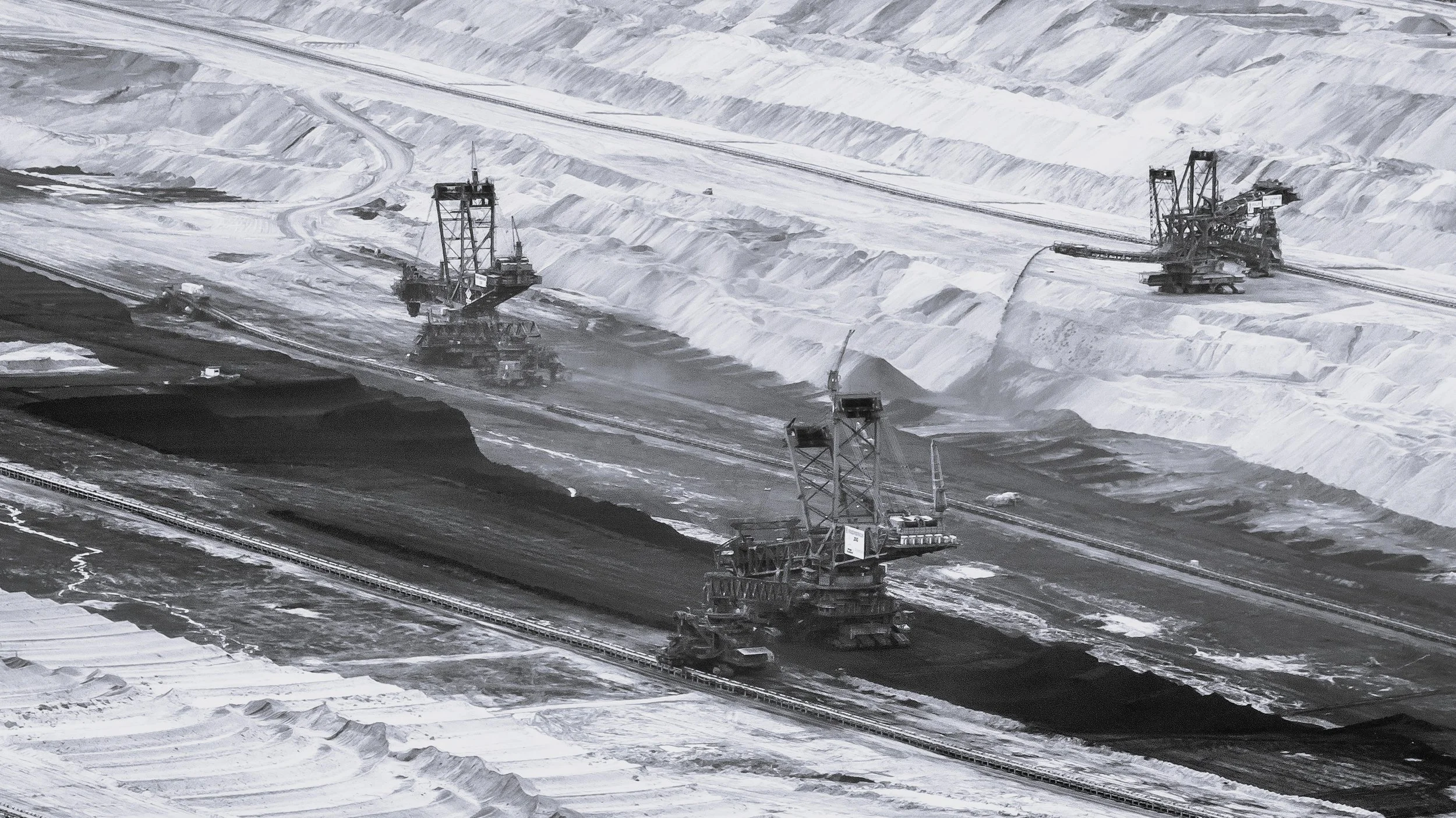
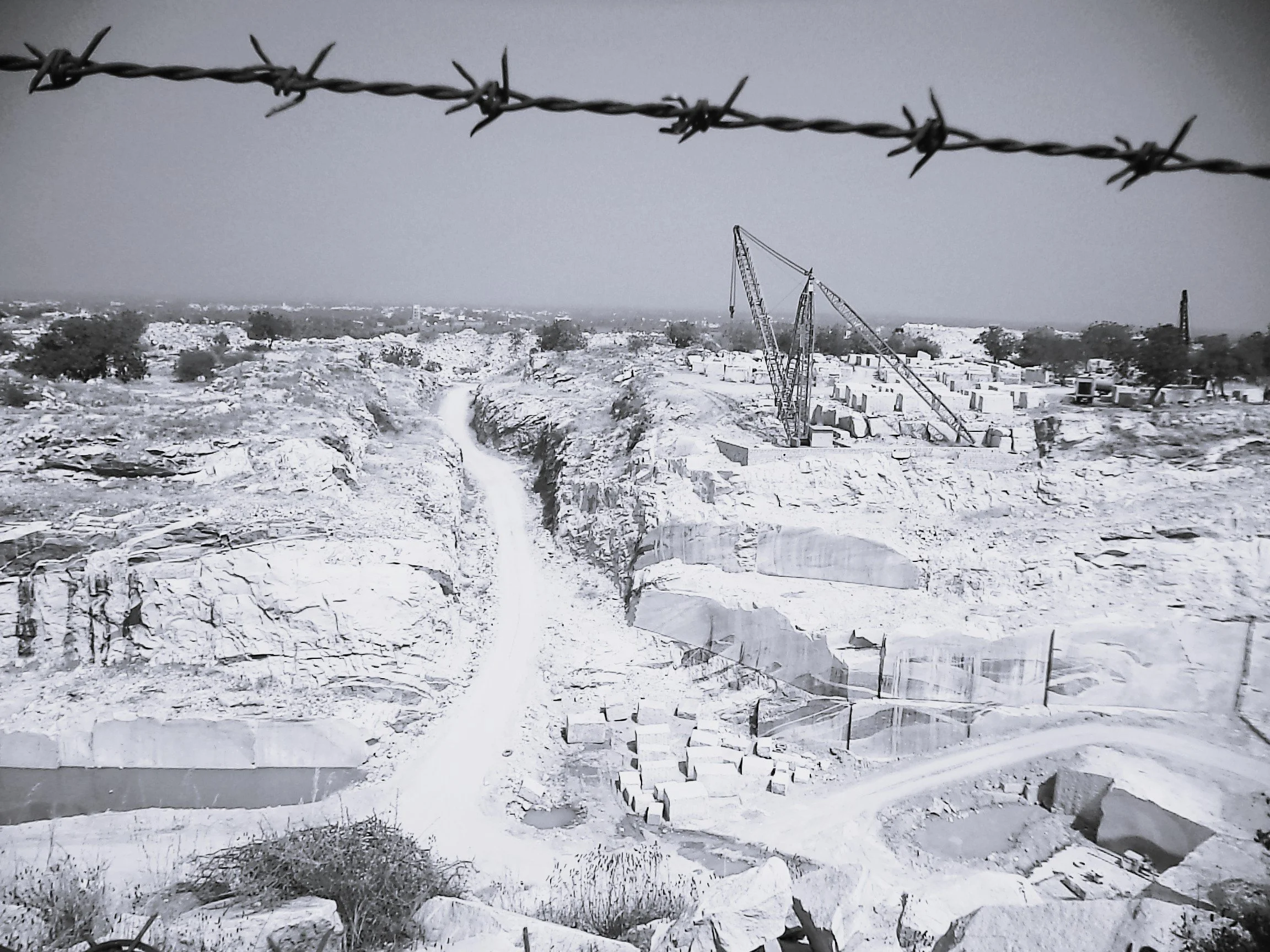
Mining sites
The land gave a lot. What comes next?
Services
01 — [x]scape diagnosis
Impact portfolios
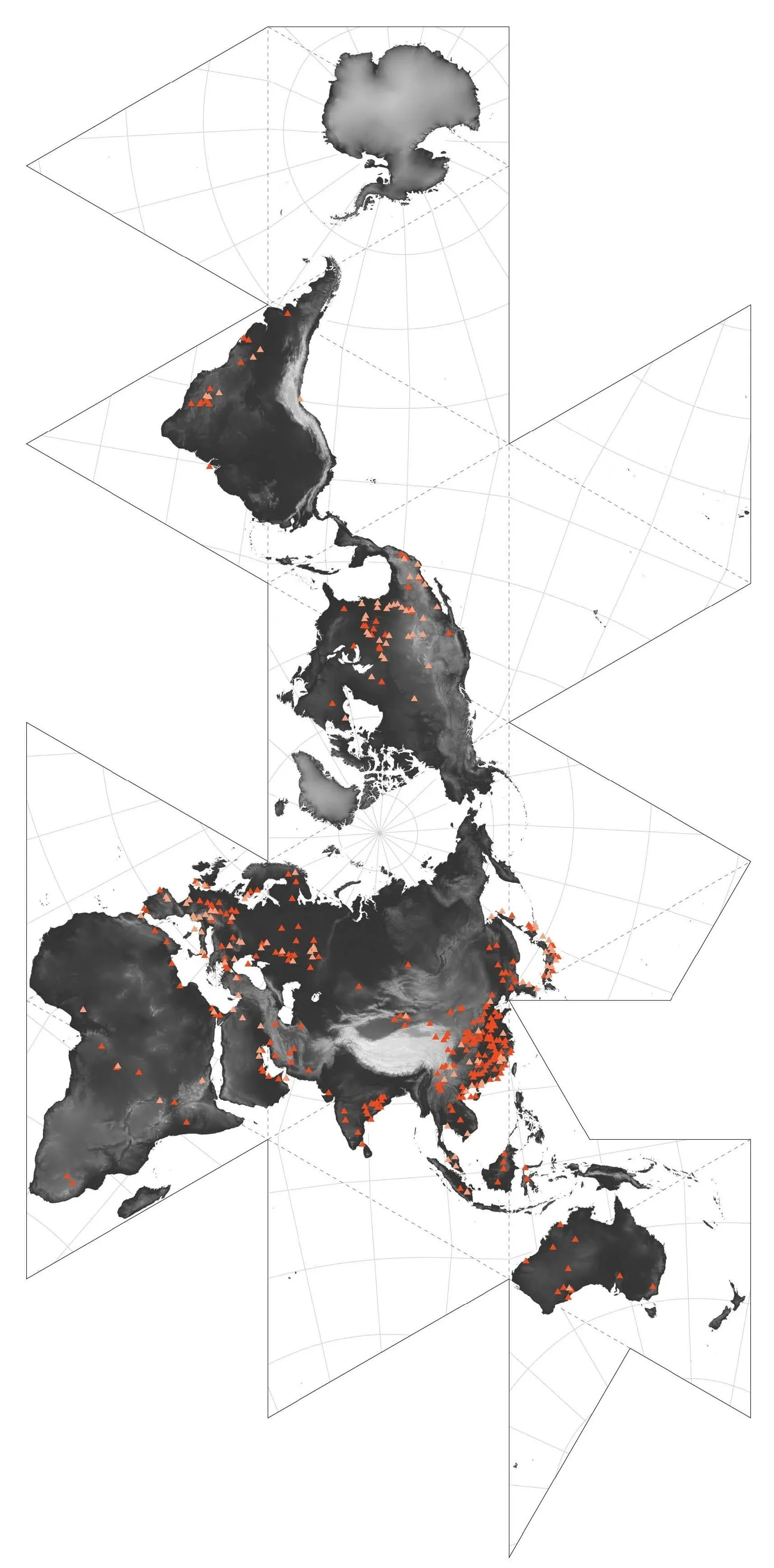
Where is transformation most needed? Spatial research, fieldwork and data analysis across environmental and social indicators.
02 — [x]scape strategy
03 — [x]scape implementation
04 — [x]scape diagnosis
Transition roadmaps
How do you move from extraction to regeneration? Circular strategies and compliance pathways grounded in policy logic.
Strategic visionaries
Who needs to move, and how? Participatory processes that align stakeholders across institutions, sectors and communities.
Spatial futures
What comes next, and who carries it forward? Spatial analysis, trend forecasting and teaching the methodology.
[x]=Steel slag
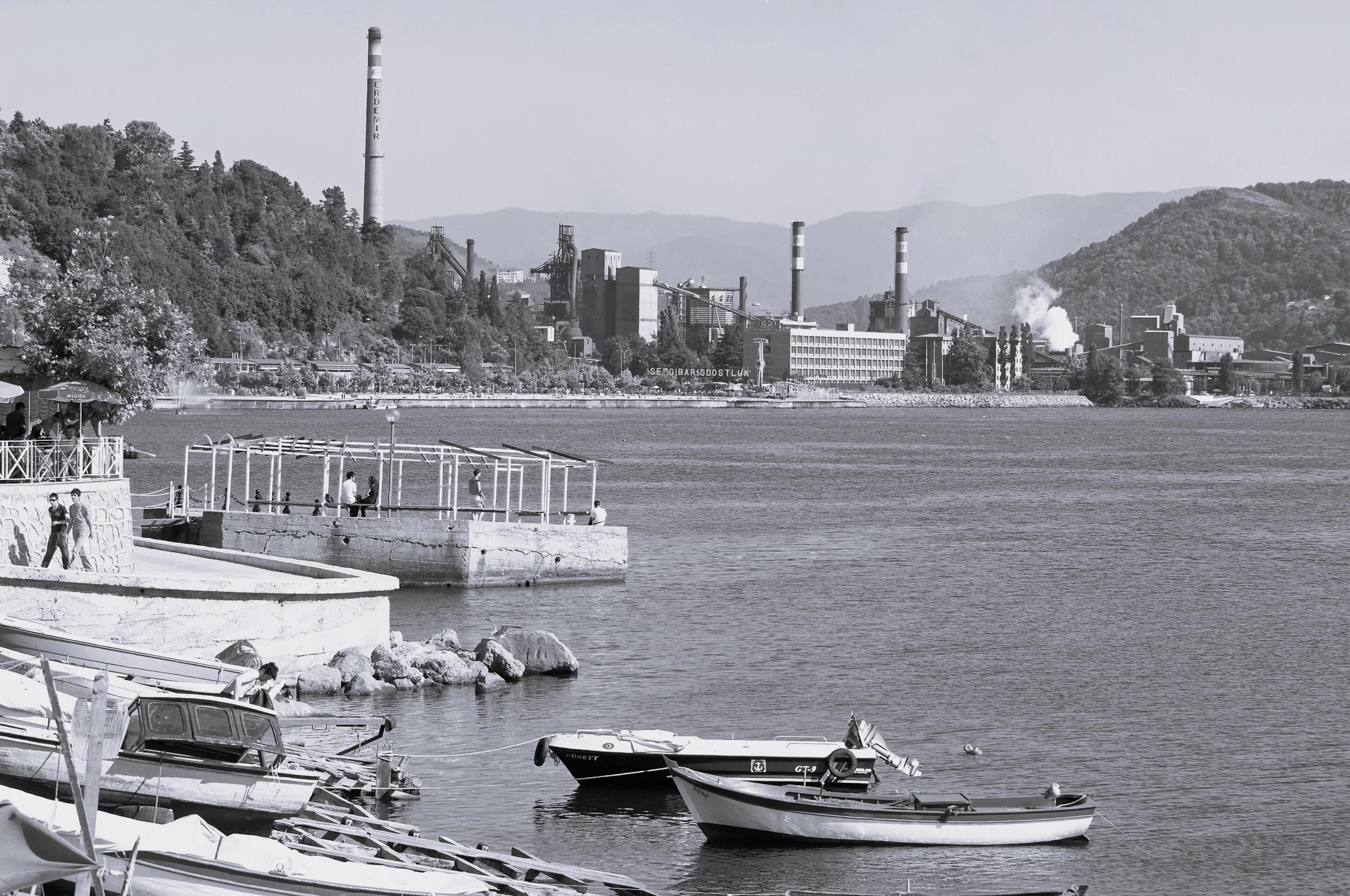
Since 2025
Eregli Basin, Turkey
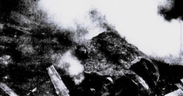
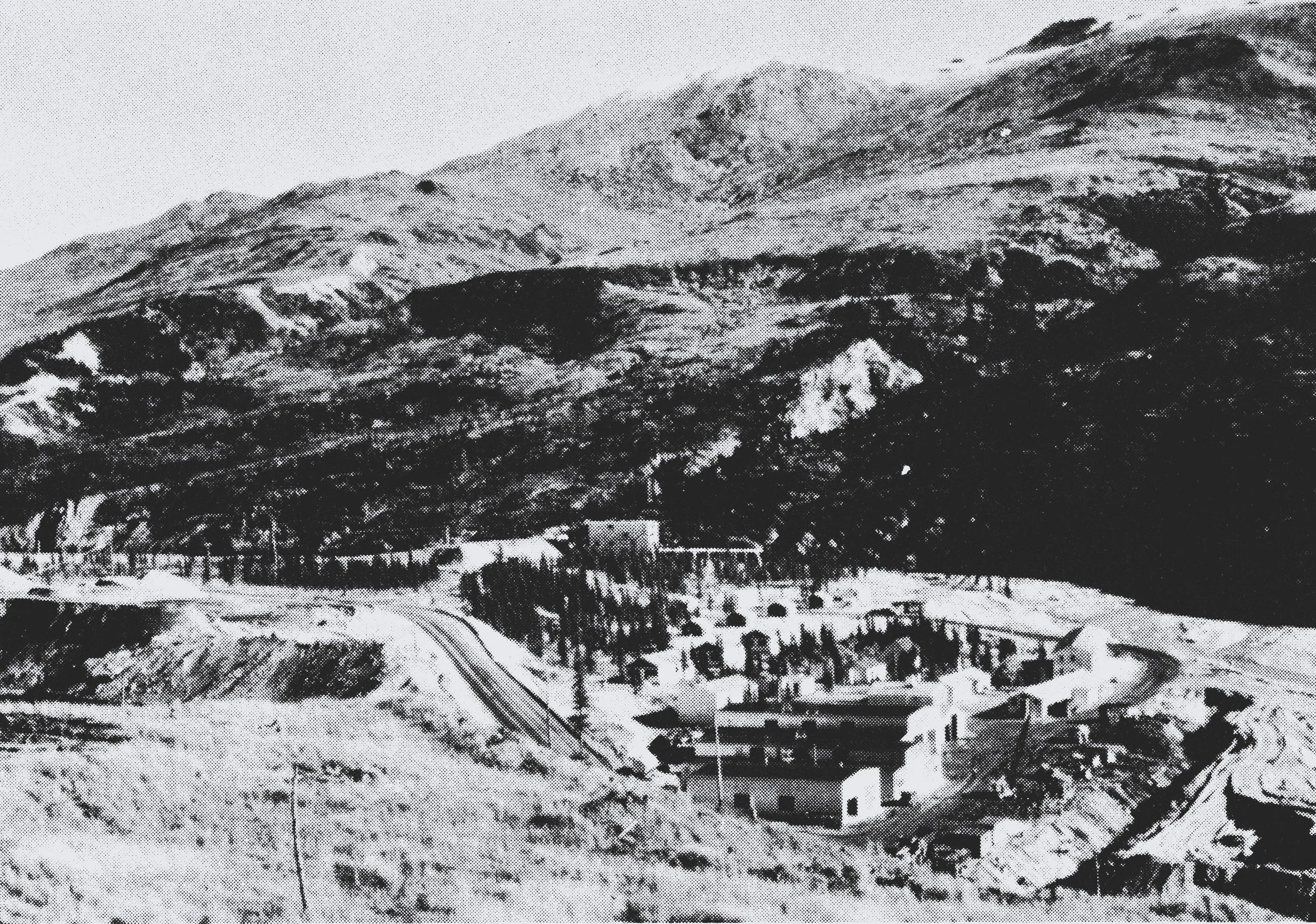
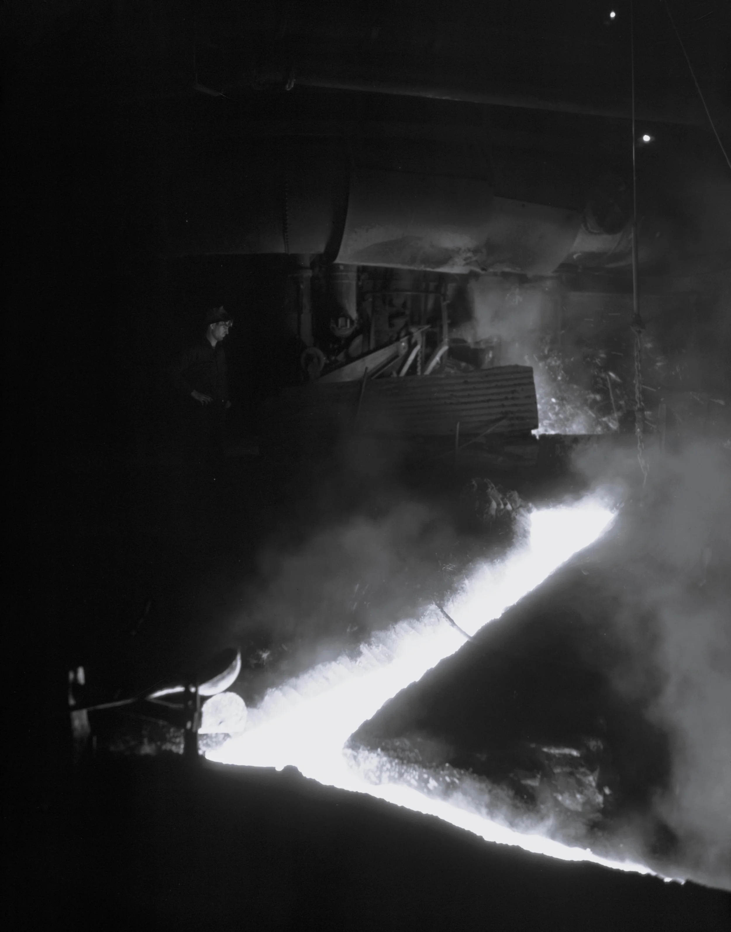
Turkey's largest steel plant has shaped the Eregli Basin since 1965. The chimneys define the skyline. The slag heaps define the land. Over 122,000 people live in its shadow, with an estimated 60% showing respiratory symptoms. Agricultural land has shrunk as industrial activity expands, and health studies linking the plant to cancer rates have been suppressed. The wasting is structural, and it is quiet.
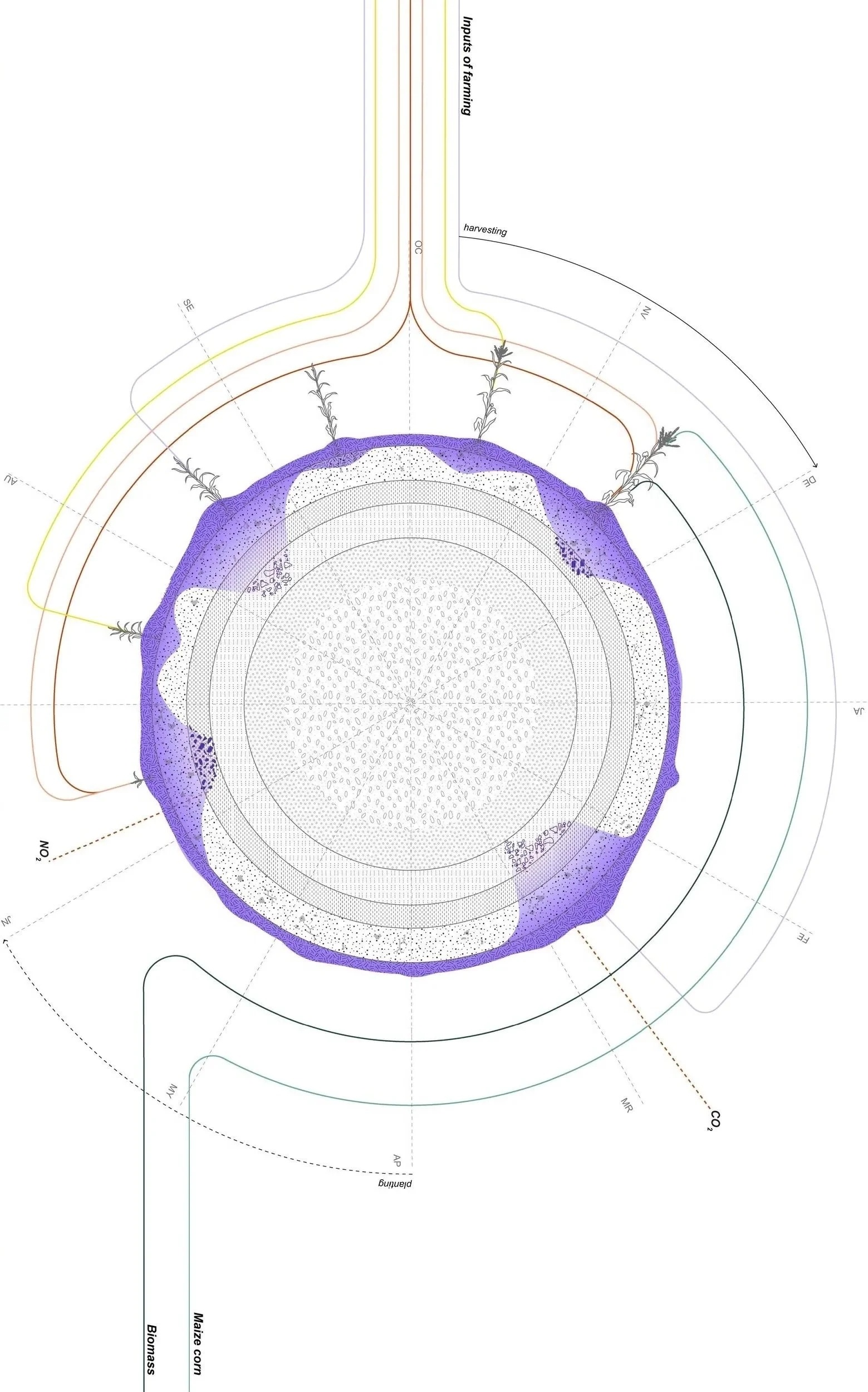
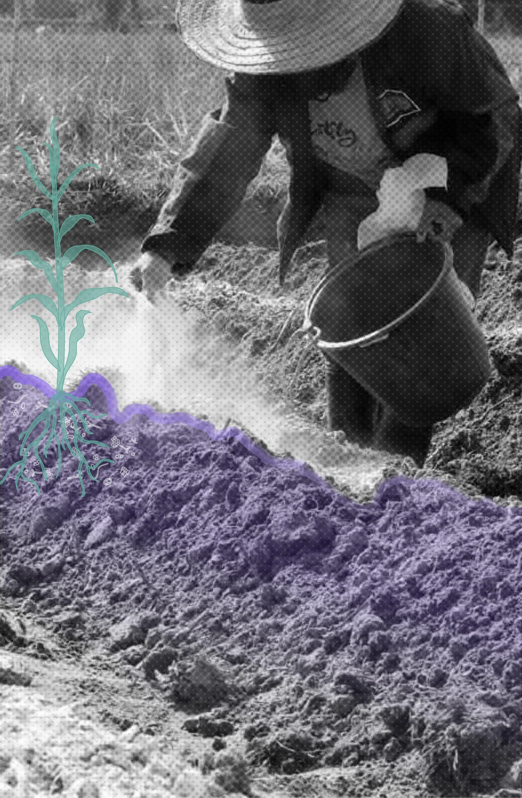
This is where our founder grew up. That personal knowledge is where [x]scaping began. Through 3 community workshops, 4 hectare pilots growing maize, hazelnut and oat, and soil restoration with CarboSlag, we are closing the loop between the steel industry and the land it transformed.
[x]=Shipbuilding waste streams
2025
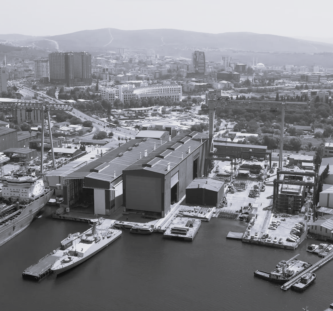
Tuzla, Istanbul, Turkey
40° 49' 12" N, 29° 18' 36" E
Over 40 shipyards line the coast of Tuzla Bay, producing 90% of Turkey's ships. 288,000 people live in their shadow. Heavy metals, chromium, nickel, and volatile organic compounds settle into the bay, the sediments, and the air. Wetlands that once sustained fishing communities have quietly disappeared. Workers die in accidents that rarely make headlines. The supply chains that build ships for global trade leave their mark on one coastline, one community, one bay at a time.
Tuzla is where [x]scaping turns its lens to the maritime industry. We are mapping the supply chains of shipmaking, tracing how materials, waste, and value flow through this territory, and identifying where circular interventions can reconnect industry to the landscape it has transformed.
[x]=Copper mining waste
Since 2026
Kafue, Zambia
15° 46' 12" S, 28° 10' 48"
Over 12 million people depend on the Kafue River for water, food, and livelihoods. In 2025, a tailings dam collapse released 50 million litres of toxic copper mining waste into its waters. Maize fields turned brown overnight. Fish disappeared. Soils became poisoned. 3,800 farming families now face displacement as the mine expands across 6,000 hectares of agrarian land.
We are on the ground with local maize farming communities, conducting field research and spatial analysis, mapping the territory, and identifying the circular pathways that will turn this crisis into a starting point for soil regeneration and resilience.
What is your
[x]
?
[x]=Rice monoculture pressure
Since 2025
Mbonso, North West Region, Cameroon
6° 4' 12" N, 10° 28' 48" E
Cameroon is pushing rice production to meet a growing national demand. The pressure is landing on 7,000 hectares of smallholder farmland and the women who tend it, 70% of the agricultural labour force. Soils are becoming exhausted. Fertilizer use is rising. The value chain extracts more than it returns. The land is absorbing a cost it was never meant to carry.
We are on the ground with local farming communities, hosting field research and webinars, mapping the pressures on soil and livelihoods, and identifying regenerative pathways that reconnect the rice value chain to the health of the land.
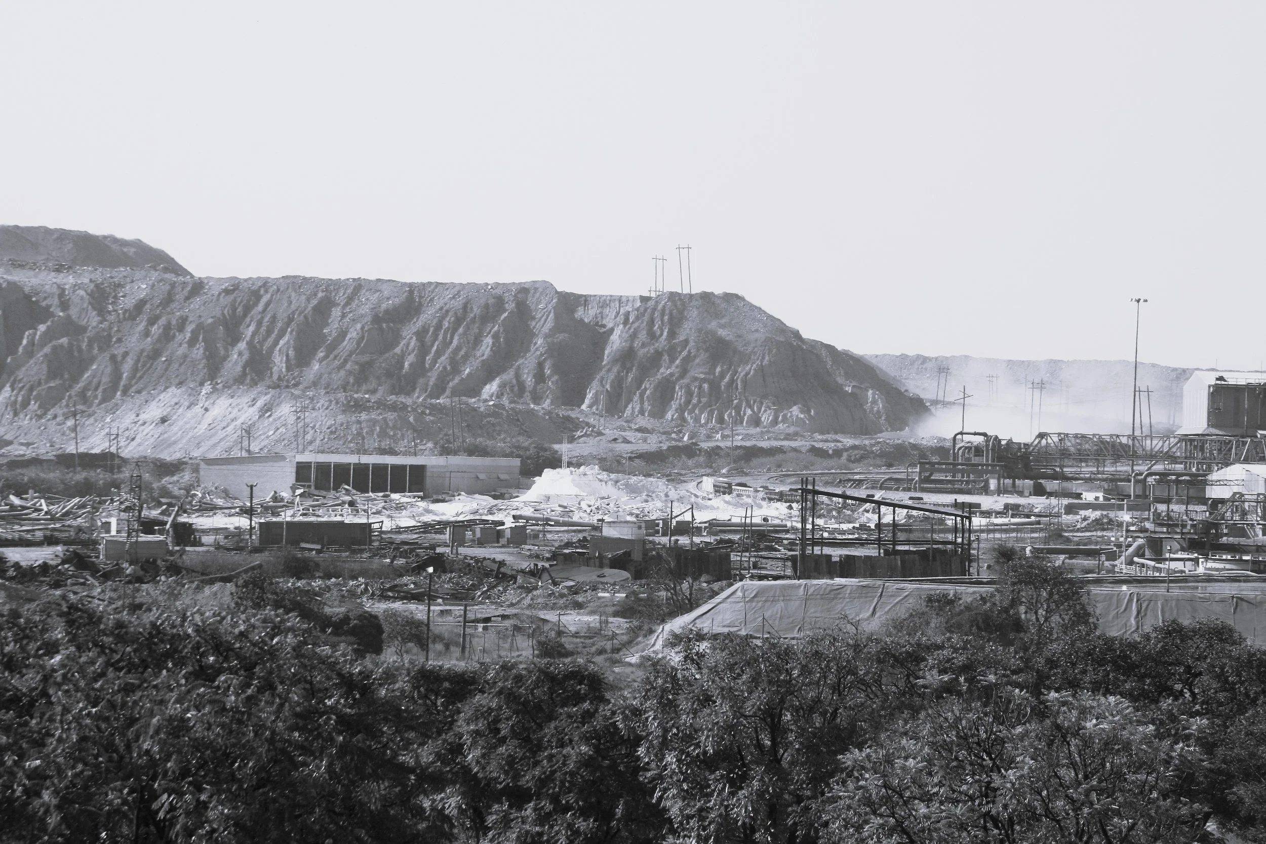
[x]=Magnesite dust
Jelšava, Slovakia
48° 36' 42" N, 20° 10' 18" E
One of Europe's largest magnesite mining operations has left 6,000 hectares of agricultural land affected and 10,000 people living within its exposure zone. Fine alkaline dust settles into soils and lungs. Heavy metals accumulate. Crops fail. Roma communities, living closest to the source, face an impossible choice: stay and absorb the pollution, or leave everything behind. Those who stay carry it in their bodies. Cancer. Respiratory disease. Slow displacement. More than 80% of the magnesite extracted here is exported across four continents. The value leaves. The damage stays.
Through community connection, multimedia documentation, and soil data collection with CarboSlag, we are building a living record of this territory and designing targeted restoration methodologies that put regeneration back in the hands of those who need it most.
41° 16' 48" N, 31° 25' 12" E
What is your [x]?
The first step is a conversation. Get in touch.